
Lower Merion Past Resident Sources by Era
Previous residents of a Lower Merion address are found through a sequence of sources, not one master list. The strongest chain starts with the current parcel and its recorded-deed reference. Historic maps then test whether the physical lot and footprint line up. Local directories, census schedules, burial records, and archive files can provide dated context, but the research does not establish a continuous municipal directory or a complete resident list for every period.
| Source | Years it covers | Where held | What it shows |
|---|---|---|---|
| Montgomery County deed records | 1784 to present, subject to listed book gaps | Recorder Public Access System, counter, mail, and historical guidance | Recorded grantor/grantee, book/page, legal-title sequence, and transaction references. |
| Township and LMHS railroad property atlases | 1871, 1877, 1881, 1886, 1887, 1896, 1900, 1908, 1912, 1913, 1920, 1926, 1937, 1948, 1961 | Township atlas collection, LMHS, and local reference paths | Lot, footprint, street context, and selected owner labels. |
| Community and Main Line publications | 1909; 1911-12; 1912-13; circa 1937; 1966-68; 1978-80 | LMHS bibliography and named local research collections | Dated name or address clues where printed, with incomplete coverage. |
| Federal population census | 1790-1930 in the cited Pennsylvania Archives source; 1890 was destroyed | National and Pennsylvania archives research routes | A household snapshot that needs address and identity corroboration. |
| Township permit and architectural records | Many structures built or altered after 1926, per HARB | Building and Planning, historic-file request, or RTKL route | Structure and alteration evidence, not a resident list. |
Start with the source closest to the period being tested. A modern ownership question begins with the county parcel and deed reference. A question about an early structure may need the atlas sequence first. For a person tied to a past residents record, use the publication date and the closest available census as separate checks rather than treating either one as conclusive.
Start Lower Merion Address Research
The Montgomery County Property Records portal gives the backward trail its current anchor. Its profile can display a property location, PARID, TaxMapID, lot number, municipality, school district, owner names, care-of field, mailing address, assessment values, sale details, deed book/page, grantor, grantee, and recorded date. It also links to map, permits, photos, sketch, assessment history, sales, and other property tabs. Preserve the property location and the legal or tax identifiers before following a name.
Those fields do not identify every person who lived at the address. An owner mailing address can differ from the situs address, and the county expressly does not present its property profile as a household roster. The useful pivot is the deed book/page and sale record. It ties the present parcel to a recorded instrument without claiming that the named party occupied the property.
The county property-search page is shown in the source capture below.
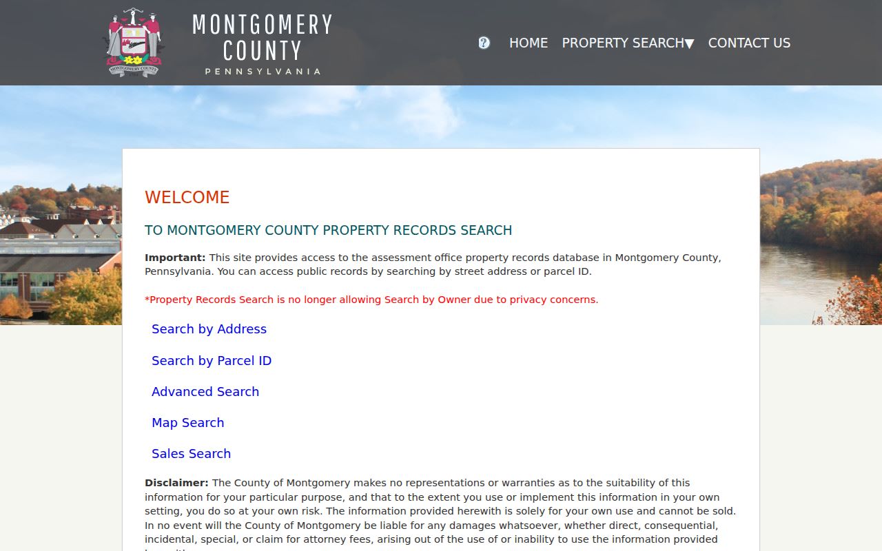
The address, parcel, map, sales, and buffer modes provide a practical starting record before the Lower Merion past residents trail moves to historic documents.
Note: Save the parcel identifier and recorded deed reference before searching older names, since each is less likely to change than a mailing label.
Trace Lower Merion Deeds Through Montgomery County
Deeds are the core ownership record for a Lower Merion address history. The property profile points to a book/page, sale date, grantor, grantee, and recorded date. The Township's HARB house-history method then calls for reading the deed's recitation of ownership, using the earlier book/page named there, and moving backward title by title. This document-led sequence is safer than deciding that people with similar names owned the same land.
- Use the property profile to record the present parcel, legal description or tax-map reference, current owner field, and sale/deed reference.
- Search the Recorder's Official Record Search by a document, party, address, parcel, or recorded-date clue from the profile.
- Obtain the deed and read its grantor, grantee, legal description, recorded date, and recited prior instrument.
- Use that prior book/page to locate the earlier transaction, then repeat the same evidence check for each link.
- When the path reaches before 1784, use Philadelphia County deeds, patents, and warrant books as the Township's historic-property guide directs.
- Grantor
- The party transferring an interest in a recorded instrument.
- Grantee
- The party receiving the recorded interest. The two party labels identify the transaction, not residence.
- Chain of title
- A documented sequence of transactions linking one deed reference to the prior one.
- Legal description
- The land description used in a deed. It can bridge an old address or renumbered street more reliably than a house number alone.
Note: A recorded party may be an estate, trust, organization, or owner with another mailing address, so the title chain and household history remain separate questions.
Lower Merion Recorder Gaps and Copy Routes
Montgomery County reports that Recorder records date back to September 10, 1784, and its unified public-access system covers historical and current land records. The interface exposes Quick Search and Advanced Search, a Real Property department, a Search Term field for a grantor, grantee, subdivision, document type, or document number, and an optional Recorded Date range. An account is required for the public-record route, and remote document images require a subscription.
The Recorder public-access information documents the alternatives. Public computers are available at the county office. Plain and certified copies can be ordered at the counter or by mail, while the agency's copy instructions identify the details that make a request easier to locate. The Recorder also lists specific missing deed, mortgage, and plan book ranges. An unsuccessful image request may therefore be a known coverage gap, not a reason to invent a missing link.
The county Recorder access page is visible in this official source capture.
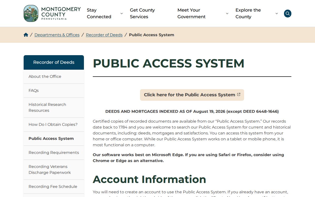
Use the live Recorder fee page before ordering copies, and keep a note of the document reference and the access path attempted for every missing image.
Compare Lower Merion Atlas Footprints
The Township's Historic Property Atlases give Lower Merion house history a rare series of comparison points. The documented railroad-atlas sequence runs from 1871 through 1961 in fifteen named editions. Start with the later plate that fits the parcel, then compare backward with the present footprint, cross street, lot shape, adjacent owners, rail line, creek, and other physical markers. Many plates omit house numbers, and a present number should never be pushed into an old plate without a parcel bridge.
If a building footprint appears in one edition but not the immediately earlier edition, the source supports a bounded construction or alteration interval. It does not supply an exact date. The 1851 John Levering Map, reproduced with the 1908 A.H. Mueller atlas, is a useful owner-name bridge before the railroad-atlas run. Sanborn fire-insurance maps from roughly 1896 to 1927 may also help, though the HARB guide says their township coverage is partial and concentrates on rail-related and denser areas.
Resolve Changed Lower Merion Street Names
Changed street names and missing numbers are a local failure point in past residents research. The HARB guide specifically warns that streets changed and that railroad-atlas plates may lack house numbers. Instead of matching a name to a current address by guesswork, use the deed's legal description, parcel ID, tax map, lot geometry, cross streets, adjacent owner labels, rail lines, Mill Creek, and historic community name. Record an unresolved match as unresolved.
Postal labels need the same care. Lower Merion Township is the municipality, while Ardmore, Bala Cynwyd, Bryn Mawr, Gladwyne, Haverford, Merion Station, Narberth, Penn Valley, Penn Wynne, Rosemont, Villanova, and Wynnewood can appear as local labels. Narberth is a separate borough. A current USPS ZIP Code Lookup result helps with delivery context, but the county parcel municipality is the better jurisdiction check for a historic-address question.
Pair Lower Merion Directories With Census Years
Local publications can add a dated household clue after the parcel and deed trail is established. Lower Merion Historical Society materials identify the Cynwyd-Bala Directory from 1909, the Main Line Residential and Business Directory for 1911-12, a Bala-Cynwyd directory identified for 1912-13, Your Bala-Cynwyd from about 1937, and Woman's Club of Bala-Cynwyd directories for 1966-68 and 1978-80. These are community, membership, or regional sources. Their coverage and page fields must be verified for the specific edition.
- Record the exact title, edition date, printed name, and address from a local directory or community publication.
- Compare the publication address to the parcel, deed description, map plate, and the spelling used for the street in that period.
- Pair the publication with the closest available federal census enumeration to test the household at that date.
- Use an obituary, burial record, will, estate record, newspaper clipping, or other dated source to distinguish people with similar names.
- Keep the publication as a time-limited observation when the address link remains uncertain.
The federal population census has a national 72-year release practice. The Pennsylvania Archives source cited in the research identifies Pennsylvania federal enumerations from 1790 through 1930 except the 1890 schedule, which was destroyed in the 1921 fire. The Lower Merion city directories collection page identifies the known local titles and access cautions without turning them into a complete address roll.
Ask Lower Merion Archives for Narrow Files
When deeds and maps leave a gap, ask for a narrow local record rather than a broad history of a person. The Lower Merion Historical Society research-support route provides a reference room, archive, file room, appointments, and remote requests. Its research form asks for specific names and dates and says to allow up to two weeks. The Society holds more than 50,000 collection items, including maps, books, papers, photographs, yearbooks, articles, ephemera, and more than 15,500 burial records.
Use the historic address, parcel or tax-map ID, date range, community label, and desired record type in the inquiry. The HARB guide also identifies the Pennsylvania Room at Gladwyne Free Library, Ludington Library resources, and local clipping files as useful local-history channels. For county archival material, Montgomery County's archival retrieval resource identifies pre-1906 birth/death listings, microfilm, and an archived-record request path.
The Historical Society's research-support page appears in the source capture below.
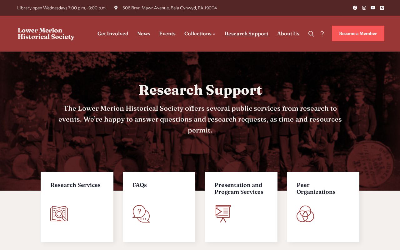
Staff-assisted access is useful when a local directory, clipping file, or map is not digitized. It is not a promise that a file contains a particular person or address.
Note: A focused request preserves the distinction between a documented address record and a broad attempt to reconstruct someone’s life from scattered files.
Lower Merion Past Residents and Estate Clues
At the end of a Lower Merion address trail, probate, burial, and archival sources can test dates and family connections. The Montgomery County Register of Wills and Clerk of Orphans' Court handles estates, marriage licenses, and certain historic county birth records. It identifies county births for 1893-1915. The county's archival retrieval resource points to pre-1906 birth/death listings, microfilm, veteran grave registers, and an archived-record request route. These sources do not prove that every named person lived at the property, but they can test whether a person belongs in the same time period.
LMHS burial records cover more than 15,500 records from older local grounds, while its articles and ephemera include family, obituary, church, school, map, and community files. Compare each result with a deed, atlas, directory edition, or census date. An obituary or estate filing can close an evidence trail, but an address association still needs a source that actually connects the person to the parcel or street.
Lawful Lower Merion House-History Use
Previous residents research is most useful for family history, property history, estate questions, preservation research, and personal curiosity. It should stay tied to documented records and dated sources. A no-result, protected address, missing book, unscanned directory, or changed street number is an evidence limit, not an invitation to make an assertion about a living person.
Personal, lawful research only. Use a Lower Merion address trail to understand a property or family history. Do not use records or archive material to track, harass, or harm a living person.
For a current address-first chain along a named road, the Lower Merion street directory uses parcel, map, Recorder, and official-request channels while retaining their separate limits.